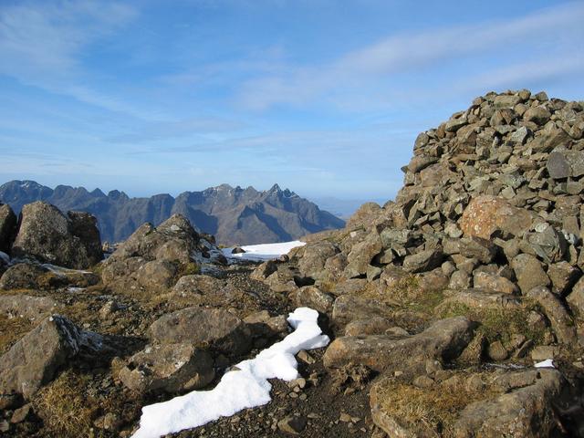
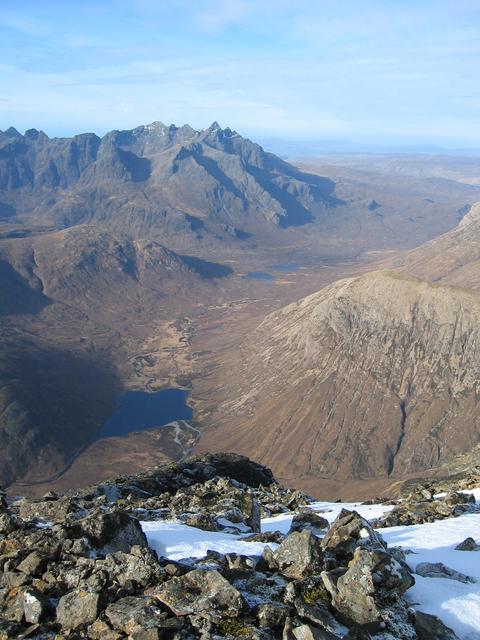
![Blabheinn [Bla Bheinn]](https://cdn.walkmates.com/hill-photos/hill-placeholder.jpg)
Upland / Hill
Circular
Hard
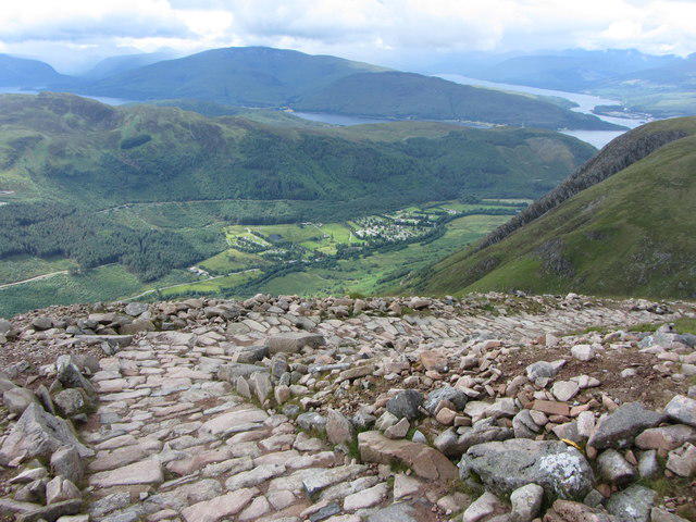
Ben Nevis via Mountain Path
PaulWalkmates
Walk organiser
![Blabheinn [Bla Bheinn] location map](https://cdn.walkmates.com/hill-maps/blabheinn-[bla-bheinn].png)
No comments yet. Be the first.